|
Paparazzi UAS v7.0_unstable
Paparazzi is a free software Unmanned Aircraft System.
|
|
Paparazzi UAS v7.0_unstable
Paparazzi is a free software Unmanned Aircraft System.
|

Advanced polygon survey for fixedwings from Uni Stuttgart. More...
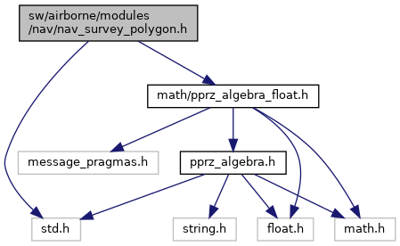
 Include dependency graph for nav_survey_polygon.h: This graph shows which files directly or indirectly include this file:
Go to the source code of this file.
Data Structures | |
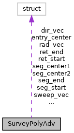
| struct | SurveyPolyAdv |
Enumerations | |
| enum | SurveyStage { ERR , ENTRY , SEG , TURN1 , RET , TURN2 } |
Functions | |
| void | nav_survey_polygon_setup (uint8_t first_wp, uint8_t size, float angle, float sweep_width, float shot_dist, float min_rad, float altitude) |
| initializes the variables needed for the survey to start | |
| bool | nav_survey_polygon_run (void) |
| main navigation routine. | |
Advanced polygon survey for fixedwings from Uni Stuttgart.
Definition in file nav_survey_polygon.h.
| struct SurveyPolyAdv |
Definition at line 47 of file nav_survey_polygon.h.
Collaboration diagram for SurveyPolyAdv:| Data Fields | ||
|---|---|---|
| struct FloatVect2 | dir_vec | |
| struct FloatVect2 | entry_center | |
| uint8_t | poly_count | |
| uint8_t | poly_first | |
| float | psa_altitude | |
| float | psa_min_rad | |
| float | psa_shot_dist | |
| float | psa_sweep_width | |
| struct FloatVect2 | rad_vec | |
| struct FloatVect2 | ret_end | |
| struct FloatVect2 | ret_start | |
| int | return_angle | |
| struct FloatVect2 | seg_center1 | |
| struct FloatVect2 | seg_center2 | |
| struct FloatVect2 | seg_end | |
| struct FloatVect2 | seg_start | |
| int | segment_angle | |
| enum SurveyStage | stage | |
| struct FloatVect2 | sweep_vec | |
| Enumerator | |
|---|---|
| ERR | |
| ENTRY | |
| SEG | |
| TURN1 | |
| RET | |
| TURN2 | |
Definition at line 45 of file nav_survey_polygon.h.
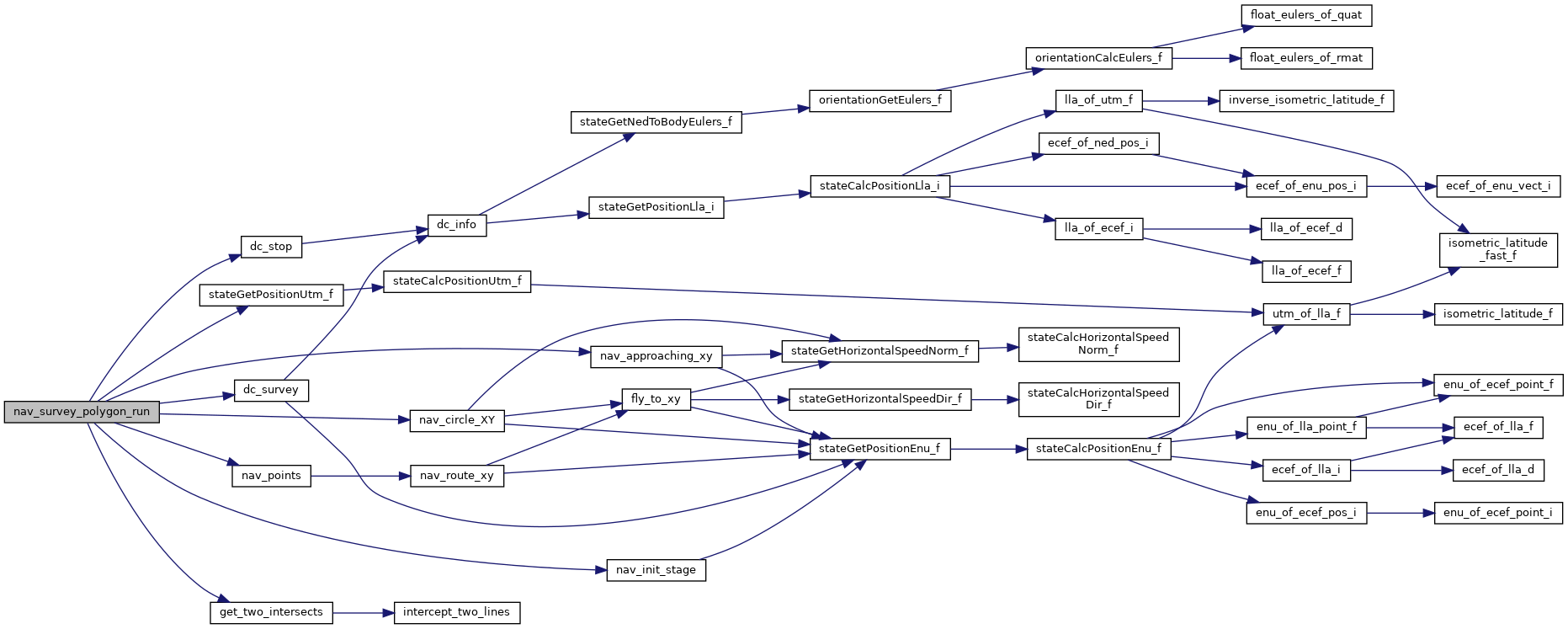
main navigation routine.
This is called periodically evaluates the current Position and stage and navigates accordingly.
Definition at line 232 of file nav_survey_polygon.c.
References CARROT, dc_stop(), dc_survey(), SurveyPolyAdv::dir_vec, ENTRY, SurveyPolyAdv::entry_center, foo, get_two_intersects(), last_x, last_y, nav_approaching_xy(), nav_circle_XY(), nav_init_stage(), nav_points(), NavCourseCloseTo, NavVerticalAltitudeMode, NavVerticalAutoThrottleMode, SurveyPolyAdv::psa_altitude, SurveyPolyAdv::psa_min_rad, SurveyPolyAdv::psa_shot_dist, SurveyPolyAdv::psa_sweep_width, SurveyPolyAdv::rad_vec, RET, SurveyPolyAdv::ret_end, SurveyPolyAdv::ret_start, SurveyPolyAdv::return_angle, SEG, SurveyPolyAdv::seg_center1, SurveyPolyAdv::seg_center2, SurveyPolyAdv::seg_end, SurveyPolyAdv::seg_start, SurveyPolyAdv::segment_angle, SurveyPolyAdv::stage, stateGetPositionUtm_f(), survey, SurveyPolyAdv::sweep_vec, TURN1, TURN2, VECT2_DIFF, VECT2_SUM, FloatVect2::x, and FloatVect2::y.
Here is the call graph for this function:
|
extern |
initializes the variables needed for the survey to start
| first_wp | the first Waypoint of the polygon |
| size | the number of points that make up the polygon |
| angle | angle in which to do the flyovers |
| sweep_width | distance between the sweeps |
| shot_dist | distance between the shots |
| min_rad | minimal radius when navigating |
| altitude | the altitude that must be reached before the flyover starts |
Definition at line 135 of file nav_survey_polygon.c.
References altitude, SurveyPolyAdv::dir_vec, ENTRY, SurveyPolyAdv::entry_center, ERR, FLOAT_VECT2_NORMALIZE, foo, get_two_intersects(), NavVerticalAltitudeMode, NavVerticalAutoThrottleMode, SurveyPolyAdv::poly_count, SurveyPolyAdv::poly_first, SurveyPolyAdv::psa_altitude, SurveyPolyAdv::psa_min_rad, SurveyPolyAdv::psa_shot_dist, SurveyPolyAdv::psa_sweep_width, SurveyPolyAdv::rad_vec, SurveyPolyAdv::return_angle, SurveyPolyAdv::seg_end, SurveyPolyAdv::seg_start, SurveyPolyAdv::segment_angle, SurveyPolyAdv::stage, survey, sweep, SurveyPolyAdv::sweep_vec, VECT2_COPY, VECT2_DIFF, VECT2_SMUL, VECT2_SUM, waypoints, FloatVect2::x, point::x, FloatVect2::y, and point::y.
Here is the call graph for this function: