|
Paparazzi UAS v7.0_unstable
Paparazzi is a free software Unmanned Aircraft System.
|
|
Paparazzi UAS v7.0_unstable
Paparazzi is a free software Unmanned Aircraft System.
|
 Collaboration diagram for Double Geodetic functions:
Data Structures | |
| struct | EcefCoor_d |
| vector in EarthCenteredEarthFixed coordinates More... | |
| struct | LlaCoor_d |
| vector in Latitude, Longitude and Altitude More... | |
| struct | NedCoor_d |
| vector in North East Down coordinates Units: meters More... | |
| struct | EnuCoor_d |
| vector in East North Up coordinates Units: meters More... | |
| struct | UtmCoor_d |
| position in UTM coordinates Units: meters More... | |
| struct | LtpDef_d |
| definition of the local (flat earth) coordinate system More... | |
| struct EcefCoor_d |
vector in EarthCenteredEarthFixed coordinates
Origin at center of mass of the Earth. Z-axis is pointing north, the x-axis intersects the sphere of the earth at 0° latitude (Equator) and 0° longitude (Greenwich). Y-axis completes it to right-hand system. Units: meters
Definition at line 49 of file pprz_geodetic_double.h.
| Data Fields | ||
|---|---|---|
| double | x | in meters |
| double | y | in meters |
| double | z | in meters |
| struct LlaCoor_d |
vector in Latitude, Longitude and Altitude
Definition at line 58 of file pprz_geodetic_double.h.
| Data Fields | ||
|---|---|---|
| double | alt | in meters above WGS84 reference ellipsoid |
| double | lat | in radians |
| double | lon | in radians |
| struct NedCoor_d |
vector in North East Down coordinates Units: meters
Definition at line 67 of file pprz_geodetic_double.h.
| Data Fields | ||
|---|---|---|
| double | x | in meters |
| double | y | in meters |
| double | z | in meters |
| struct EnuCoor_d |
vector in East North Up coordinates Units: meters
Definition at line 76 of file pprz_geodetic_double.h.
| Data Fields | ||
|---|---|---|
| double | x | in meters |
| double | y | in meters |
| double | z | in meters |
| struct UtmCoor_d |
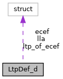
| struct LtpDef_d |
definition of the local (flat earth) coordinate system
Defines the origin of the local coordinate system in ECEF and LLA coordinates and the roation matrix from ECEF to local frame
Definition at line 97 of file pprz_geodetic_double.h.
Collaboration diagram for LtpDef_d:| Data Fields | ||
|---|---|---|
| struct EcefCoor_d | ecef | origin of local frame in ECEF |
| double | hmsl | height in meters above mean sea level |
| struct LlaCoor_d | lla | origin of local frame in LLA |
| struct DoubleRMat | ltp_of_ecef | rotation from ECEF to local frame |
|
extern |
Definition at line 168 of file pprz_geodetic_double.c.
References foo, MAT33_VECT3_TRANSP_MUL, and VECT3_ADD.
Referenced by ecef_of_ned_point_d(), get_pos(), and nps_fdm_run_step().
Here is the caller graph for this function:
|
extern |
Definition at line 181 of file pprz_geodetic_double.c.
References foo, and MAT33_VECT3_TRANSP_MUL.
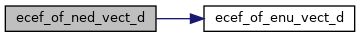
Referenced by ecef_of_ned_vect_d(), get_acc(), get_vel(), and nps_fdm_run_step().
Here is the caller graph for this function:
|
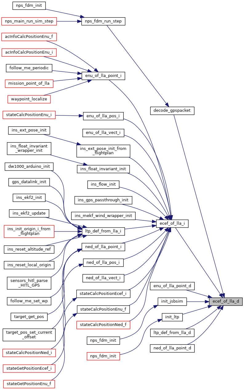
extern |
Definition at line 120 of file pprz_geodetic_double.c.
References LlaCoor_d::alt, f, foo, LlaCoor_d::lat, LlaCoor_d::lon, EcefCoor_d::x, EcefCoor_d::y, and EcefCoor_d::z.
Referenced by decode_gpspacket(), ecef_of_lla_i(), enu_of_lla_point_d(), init_jsbsim(), init_ltp(), init_ltp(), init_ltp(), init_ltp(), ltp_def_from_lla_d(), and ned_of_lla_point_d().
Here is the caller graph for this function:
|
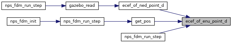
extern |
Definition at line 174 of file pprz_geodetic_double.c.
References ecef_of_enu_point_d(), ENU_OF_TO_NED, and foo.
Referenced by gazebo_read(), and nps_fdm_run_step().
Here is the call graph for this function: Here is the caller graph for this function:
|
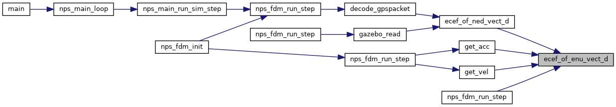
extern |
Definition at line 186 of file pprz_geodetic_double.c.
References ecef_of_enu_vect_d(), ENU_OF_TO_NED, and foo.
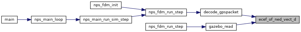
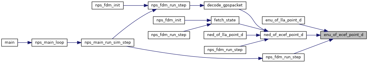
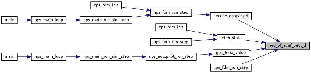
Referenced by decode_gpspacket(), gazebo_read(), and nps_fdm_run_step().
Here is the call graph for this function: Here is the caller graph for this function:
|
extern |
Definition at line 140 of file pprz_geodetic_double.c.
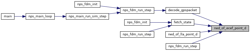
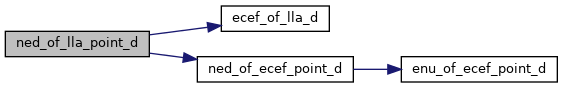
References foo, MAT33_VECT3_MUL, and VECT3_DIFF.
Referenced by enu_of_lla_point_d(), and ned_of_ecef_point_d().
Here is the caller graph for this function:
|
extern |
Definition at line 154 of file pprz_geodetic_double.c.
References foo, and MAT33_VECT3_MUL.
Referenced by ned_of_ecef_vect_d().
Here is the caller graph for this function:
|
extern |
Definition at line 194 of file pprz_geodetic_double.c.
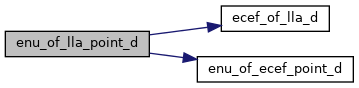
References ecef_of_lla_d(), enu_of_ecef_point_d(), and foo.
Here is the call graph for this function:Definition at line 210 of file pprz_geodetic_double.c.
Referenced by gazebo_read(), and init_jsbsim().
Here is the caller graph for this function:
|
extern |
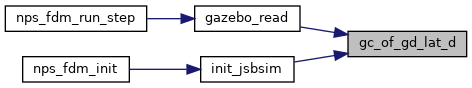
Definition at line 83 of file pprz_geodetic_double.c.
References LlaCoor_d::alt, b, f, foo, LlaCoor_d::lat, LlaCoor_d::lon, P, s, EcefCoor_d::x, EcefCoor_d::y, EcefCoor_d::z, and z2.
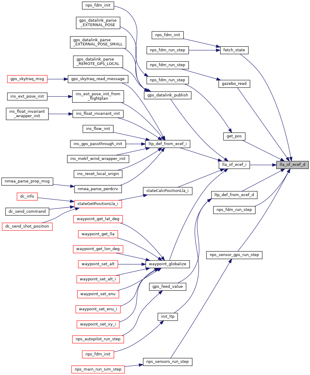
Referenced by fetch_state(), gazebo_read(), get_pos(), lla_of_ecef_i(), ltp_def_from_ecef_d(), nps_fdm_run_step(), and nps_sensor_gps_run_step().
Here is the caller graph for this function:Definition at line 311 of file pprz_geodetic_double.c.
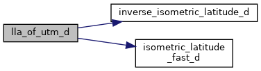
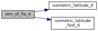
References LlaCoor_d::alt, CSin, DELTA_EAST, DELTA_NORTH, E, foo, inverse_isometric_latitude_d(), isometric_latitude_fast_d(), LambdaOfUtmZone, LlaCoor_d::lat, LlaCoor_d::lon, N, scale, serie_coeff_proj_mercator, serie_coeff_proj_mercator_inverse, VECT2_SMUL, VECT2_SUB, DoubleVect2::x, and DoubleVect2::y.
Referenced by lla_of_utm_i().
Here is the call graph for this function: Here is the caller graph for this function:
|
extern |
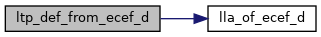
Definition at line 34 of file pprz_geodetic_double.c.
References foo, lla_of_ecef_d(), and VECT3_COPY.
Referenced by gps_feed_value(), init_ltp(), init_ltp(), init_ltp(), init_ltp(), and init_ltp().
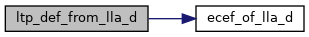
Here is the call graph for this function: Here is the caller graph for this function:Definition at line 57 of file pprz_geodetic_double.c.
References ecef_of_lla_d(), foo, and LLA_COPY.
Here is the call graph for this function:
|
extern |
Definition at line 147 of file pprz_geodetic_double.c.
References enu_of_ecef_point_d(), ENU_OF_TO_NED, and foo.
Referenced by decode_gpspacket(), fetch_state(), ned_of_lla_point_d(), and nps_fdm_run_step().
Here is the call graph for this function: Here is the caller graph for this function:
|
extern |
Definition at line 159 of file pprz_geodetic_double.c.
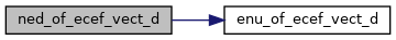
References enu_of_ecef_vect_d(), ENU_OF_TO_NED, and foo.
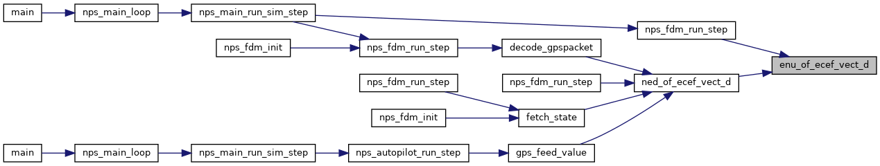
Referenced by decode_gpspacket(), fetch_state(), gps_feed_value(), and nps_fdm_run_step().
Here is the call graph for this function: Here is the caller graph for this function:
|
extern |
Definition at line 201 of file pprz_geodetic_double.c.
References ecef_of_lla_d(), foo, and ned_of_ecef_point_d().
Here is the call graph for this function:Definition at line 276 of file pprz_geodetic_double.c.
References LlaCoor_d::alt, CSin, DELTA_EAST, DELTA_NORTH, E, foo, isometric_latitude_d(), isometric_latitude_fast_d(), LambdaOfUtmZone, LlaCoor_d::lat, LlaCoor_d::lon, N, serie_coeff_proj_mercator, UtmZoneOfLlaLonRad, VECT2_ADD, and VECT2_SMUL.
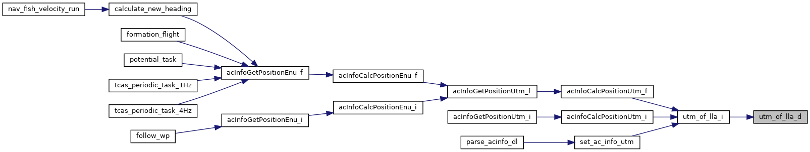
Referenced by utm_of_lla_i().
Here is the call graph for this function: Here is the caller graph for this function: